Fiddlesticks,
Fordingbridge
The Site
The site is located adjacent to the northern boundary of Fordingbridge and immediately north of the Strategic Local Plan Allocation SS17 ‘Land to West of Whitsbury Road, Fordingbridge’, otherwise referred to as ‘Tinkers Cross’.

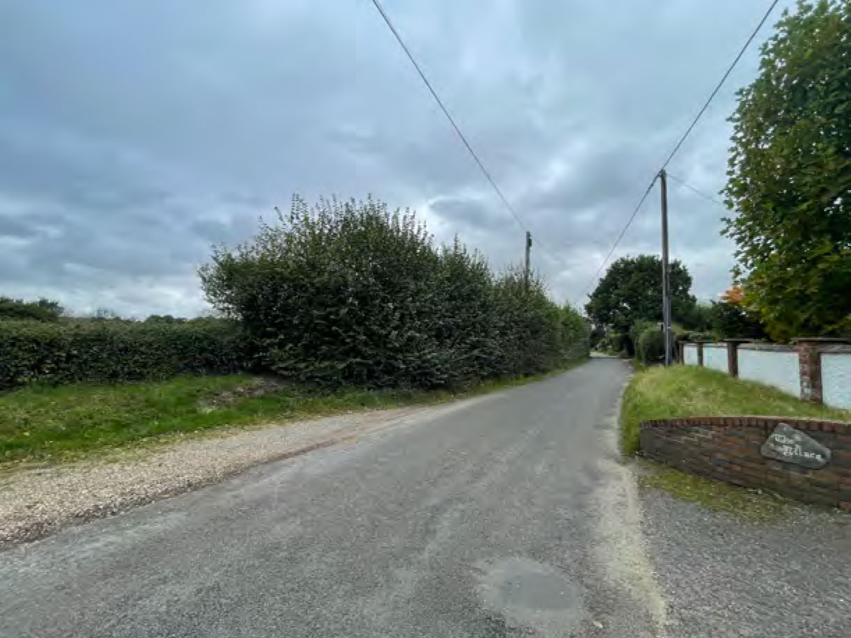
Point of access with Whitsbury Road
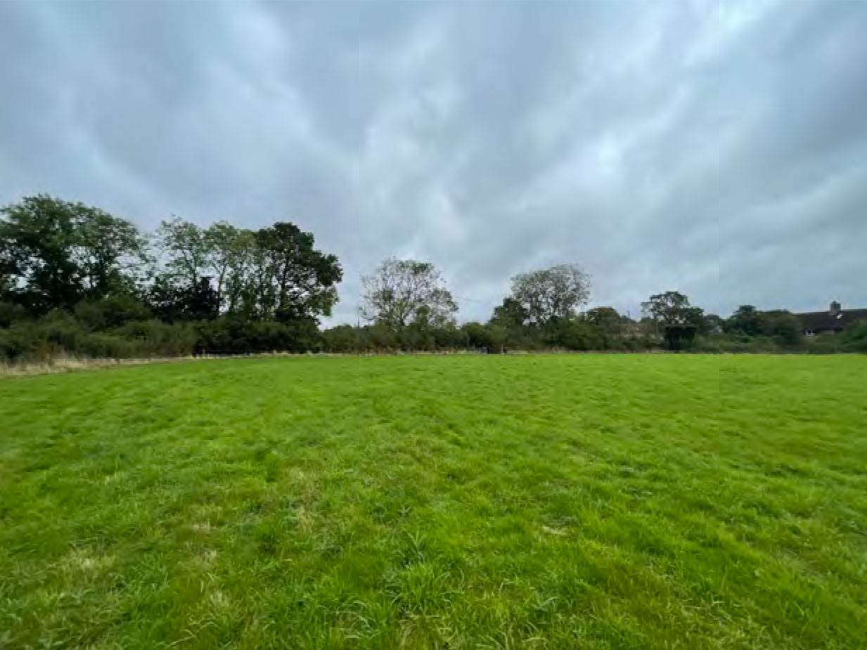
Central field, boundary with Whitsbury Road
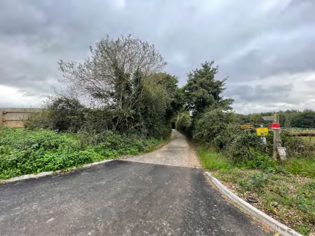
Puddleslosh Lane
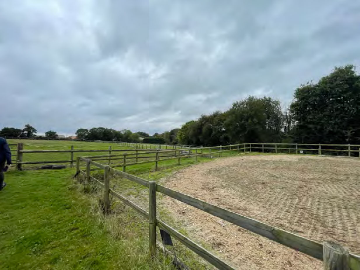
Southeastern field
The site is currently comprised of three fields consisting of modified grassland, with the southernmost field used for horse and sheep grazing. The remaining two fields are located north and south of Fiddlesticks Farmhouse.
To the north and east is open countryside, characterised by large irregular shaped fields with mature treed boundaries, dispersed rural buildings and pockets of woodland.